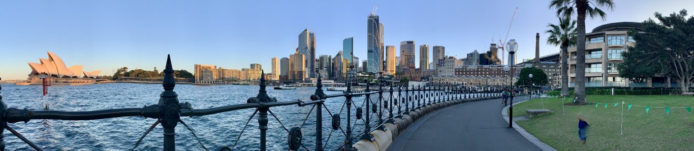

The town of Interlaken takes its name from the fact that it is located on a canal that links Lake Thun to Lake Brienz. The town itself is nice. More importantly though, it serves as the gateway to some of Switzerland’s best known tourist sights, like Lauterbrunnen, the Jungfrau Joch, Grindelwald, the Giessbach falls and the Rothorn, which is where I’m headed today.
From Interlaken Ost to Brienz it’s 17 or 21 minutes, depending on whether you manage to catch the express or the regular train. The service is operated by the Zentralbahn, which is a narrow gauge railway that links Interlaken to Lucerne across the Brünig pass.

The train has mainly second class coaches, but there’s also a small first class cabin.

Buying Tickets for the Brienz-Rothorn Railway
The tickets for the Brienz-Rothorn railway can be purchased at the counter at the station or online. The station is just across the road from the station of the Zentralbahn from Interlaken.
I would recommend you get your tickets online if you’re planning to visit during the high season. That’s because online tickes come with guaranteed seating, whereas if you purchase your ticket at the counter, you may have to wait for the next one if the train is full.


Currently, the trains are not going all the way up to the Rothorn. They stop at Planalp, which is roughly half-way up and a journey of about 30 minutes. It’s a bit longer coming down. The train is composed of two openair carriages and a steam locomotive. The carriages are sectioned in compartments of eight seats.

The view going up to Planalp is really breathtaking. Between Brienz and Planalp, the train ascends 1800 metres.


From Planalp you can take the train back down again, or you can hike back down to Brienz or to Interlaken. The treck down to Brienz will take you about 90 minutes, depending on how fast you walk. But just to give you fair warning, it’s demanding on the leg joints, especially the knees. So don’t try hiking down unless a) you have proper hiing showes, and b) you are in good physical condition. But it’s definitely well worth it. The hike back to Interlaken will take you about four to five hours along an elevated ridge with some gorgeous views of the lake below.

Along the way you will hear the sound of crickets, birds and cowbells and breathe in some of the pristine Alpine air.


This time around though, I only hike down to Brienz, mainly because I want to hitch a ride back to Interlaken on the DS Lötschberg, a steamer that was built in 1914 and has been ploughing its trade on the lake ever since. The journey from Brienz to Interlaken takes just over one hour. The first stop after Brienz is the Giessbach falls.

The DS Lötschberg has seating in standard class on the main deck, and first class on the upper deck. There is also a restaurant that serves hot and cold drink and food.

There’s even a little enclosed salon in case you start feeling cold. During my visit at the end of May, the weather is perfect. Probably too perfect, because although it’s a bright sunny day, the breeze is still pleasantly cool. And that, boys and girls, is how I end up getting off the boat in Interlaken doing a surprisingly good impression of a cooked lobster…

I arrive back in Interlaken Ost, where there’s already a long queue forming with passengers wanting to make the next journey on the Lötschberg. The quai is just across the road from Interlaken Ost railway station.

Getting There
Interlaken Ost and West are very well connected to the Swiss national railway system. There are regular trains from most major cities in Switzerland with either the Swiss Federal Railways – SBB, the Bern Lötschberg Simplon Railway – BSL, or the previously mentioned Zentralbahn. There are even direct connections to Germany with the ICE, which calls in Interlaken several times a day.
As I already said, Interlaken is a nice enough place. Although I think it attracts mainly a somewhat older crowd. It’s main appeal is that it has several beautiful sights in close proximity and some great hiking trails.